 Remington Croft
Where Is Everest in 2026 (Country, Height, and Which Side to Visit)
Last updated: September 14, 2026 — location and height rechecked against Britannica, National Geographic, and Nepal–China survey reports; first version of this guide.
Reviewed by Emily Holmes, General Reviewer, following our test method.
Where is Everest? It stands on the Nepal–Tibet border in the Mahalangur Himal at 27°59′N 86°56′E, reaching 8,848.86 meters. You'll reach its south side through Nepal's Solukhumbu district and its north side through Tibet. Most visitors pick Nepal for the classic base-camp trek.
Quick answer: The map pin works for most readers: Nepal–Tibet border, Himalayas. South-side Nepal is best when you want the classic trek and summit route. North-side Tibet is best for road access and the Rongbuk view. Details below.
Quick Comparison: Where Is Everest From Every Angle
Answer the map question first, then the trip question. You'll plan better once the two stop blurring together.
| Angle | Key Points | Best For |
|---|---|---|
| Map pin | Nepal–Tibet border, Mahalangur Himal, 27°59′N 86°56′E | Most readers |
| South side (Nepal) | Lukla flight, Sagarmatha park, Southeast Ridge route | Trekkers and climbers |
| North side (Tibet) | Tingri road, Rongbuk views, Northeast Ridge route | Road travelers |
Dive deeper: How to Trek Everest Base Camp South Route; Everest South vs North Route Comparison; Everest Permits Fees and Regulations Guide.
The border pin sits at 27°59′N 86°56′E per Britannica. The 8,848.86-meter joint figure comes from the 2020 Nepal–China survey per National Geographic. South-slope trekking context follows the Nepal Tourism Board.
The Map Pin: A Summit Split Between Two Countries
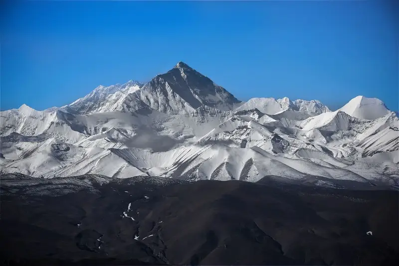
Everest rising over its neighbors — the summit sits exactly on the boundary line. Illustrative stock photo via Pexels.
You'll find Everest in the Great Himalayas of southern Asia, inside the Mahalangur Himal sub-range. Its summit sits precisely on the international boundary. The southern slopes fall in Solukhumbu District of Nepal's Koshi Province, while the northern slopes fall in Tingri County of Tibet.
That split shapes everything else you'll read here. Nepal calls the mountain Sagarmatha, meaning Peak of Heaven. Tibet calls it Chomolungma, often rendered as Goddess Mother of the World. English keeps the surveyor's name: Sir George Everest, pronounced Eve-rest, honored by his successor in 1865.
- Use the pin when: you're settling a quiz-night debate or tracing the range on a map
- Skip it when: you're choosing a trip, since the two sides visit nothing alike
- Spec to confirm: the coordinates 27°59′N 86°56′E, shared by every major atlas
South Side: Nepal, Lukla, and the Classic Route
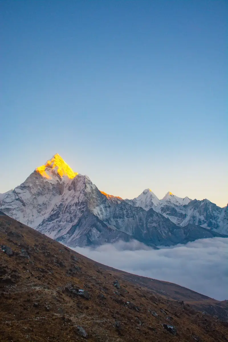
Morning light over Dingboche — you'll walk through villages like this toward base camp. Illustrative stock photo via Pexels.
Your chest tightens at the first full view above Namche, and that's before the altitude even starts. You'll remember that viewpoint longer than any summit photo you scroll past.
You'll fly from Kathmandu to Lukla in about an hour, weather permitting, since mountain weather makes that landing famously tricky. Then you'll trek through Sherpa villages that reach about 14,000 feet, inside Sagarmatha National Park, a UNESCO site since 1979. The park also holds Lhotse and Cho Oyu among peaks above 6,000 meters. Climbers take the Southeast Ridge, the normal route first climbed in 1953 by Edmund Hillary and Tenzing Norgay.
- Grab this side if: you want the classic base-camp trek or the historic summit route
- Leave it if: you can't spare two-plus weeks or you dread small mountain flights
- Spec to confirm: Lukla schedules, since fog cancels flights for days at a stretch
North Side: Tibet, Tingri, and the Road In
So what does the other half of the mountain offer? You'll trade trekking days for driving days and red tape.
You'll approach through Tingri County on the Tibetan plateau, with big views from the Rongbuk valley and its famous monastery. Climbers take the Northeast Ridge from this side. Permits run through China, and reporting has long noted the northern climb costs less than the southern one. You'll still face extreme altitude and cold, since the mountain grants no discounts for direction.
- You'll love it if: you prefer road travel and monastery-country scenery over teahouse trails
- Walk away if: permits, group rules, or plateau logistics sound worse than Lukla
- Spec to confirm: current Tibet travel-permit rules before you book anything
The Height Number Keeps Moving: a Short Timeline
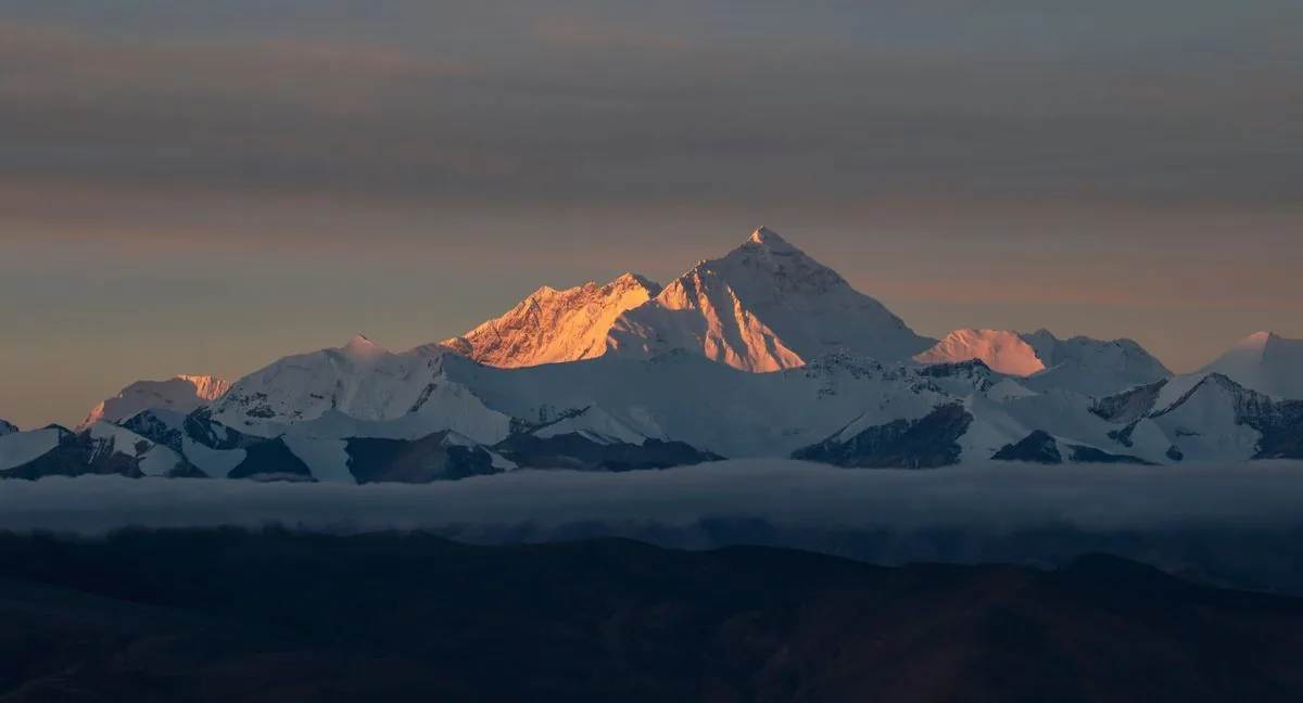
Warm light on the summit snowcap — that cap is exactly what surveyors argue about. Illustrative stock photo via Pexels.
You'll see 8,848 meters in old textbooks and 8,848.86 in new ones. Both sides measured honestly and counted different things.
| Year | Survey | Figure |
|---|---|---|
| 1856 | Great Trigonometrical Survey | 29,002 ft (Peak XV named highest) |
| 1955 | Survey of India | 29,029 ft (the classic figure) |
| 1999 | National Geographic GPS | 29,035 ft |
| 2005 | China (rock height, no snow) | 29,017 ft |
| 2020 | Nepal–China joint (snow height) | 29,031.7 ft / 8,848.86 m |
Nepal's team summited in 2019 and China's in 2020, combining GPS and BeiDou satellites with laser theodolites. The 2020 figure includes the snowcap, which settles the rock-versus-snow split that divided the two countries. National Geographic now uses it everywhere. The mountain also keeps growing as India slides under Eurasia, though the 2015 quake reminded everyone the range can shift suddenly.
- Quote 8,848.86 m when: you want the current official number
- Expect 8,848 m when: you're reading maps printed before 2021
- Spec to confirm: snow height versus rock height whenever figures differ
How to Choose: Which Side Should You Visit
You'll pick wrong when you choose by price alone. You'll pick right by matching days, knees, and nerves.
Give Nepal your vote when trekking is the point. You'll earn the mountain step by step, sleep in teahouses, and stand at the foot of the Khumbu Icefall. Give Tibet your vote when roads beat trails. You'll see Everest from Rongbuk, visit monasteries, and skip the Lukla flight entirely. Either way you'll travel above 5,000 meters at base camp, so you'll plan acclimatization days with a real operator instead of winging it.
- Nepal fits: trekkers, climbers, and first-timers chasing the classic arc
- Tibet fits: road-trippers and photographers pairing Everest with Lhasa country
- Spec to confirm: permits, insurance, and evacuation cover for your exact route
Setup Tips to Read the Mountain Like a Local
You've got the pin and the number, so you'll sound sharper with the names. You'll use Sagarmatha with Nepali hosts and Chomolungma on the Tibetan side.
Keep Everest distinct from its rivals. You'll note K2 as second-highest and far harder, Kangchenjunga as third on the Nepal–India line, and Lhotse as Everest's near neighbor sharing the South Col. If someone cites the tallest mountain from Earth's center, you'll smile and name Chimborazo; from base to peak, you'll name Mauna Kea. Everest owns one crown only: highest above sea level.
- Remember: Sagarmatha and Chomolungma outrank the colonial name locally
- Pronounce: Eve-rest, after Sir George himself
- Spec to confirm: Hillary and Norgay, May 29, 1953, Southeast Ridge
Where Is Everest FAQ
Is Mount Everest in Nepal or China?
Both. The summit sits on the Nepal–Tibet border, with south slopes in Nepal and north slopes in Tibet. You'll enter one side or the other, never some middle zone.
How tall is Mount Everest?
The official height is 8,848.86 meters (29,031.7 feet) from the 2020 joint survey. You'll still see the rounded 8,848 meters on older maps and signs.
What are Everest's local names?
Nepal calls it Sagarmatha, meaning Peak of Heaven, and Tibet calls it Chomolungma, goddess mother of the world. You'll hear both the moment you land in the region.
Who climbed Everest first?
Edmund Hillary and Tenzing Norgay summited on May 29, 1953 via the Southeast Ridge. You'll find Junko Tabei recorded as the first woman in 1975 and Messner as the first soloist in 1980.
Can I visit Everest without climbing it?
Yes, and most visitors do exactly that. You'll trek to South Base Camp from Lukla or drive to Rongbuk viewpoints on the Tibetan side.
Is Everest the same as K2?
No, K2 is a separate, harder peak on the Pakistan–China border and the world's second-highest. You'll never confuse them once you've seen both on a map.
Bottom Line
Everest stands on the Nepal–Tibet border at 8,848.86 meters, and you'll meet it best from Nepal's trails or Tibet's roads.
Related Guides
- How to Trek Everest Base Camp South Route
- Everest South vs North Route Comparison
- Everest Permits Fees and Regulations Guide
- Best Season to See Everest by Month
- How to Prepare for Everest Altitude and Acclimatization
- Everest Height Location Range Facts Explained
- How to Choose Everest Guide and Expedition Team
- Everest Climbing Cost Sherpa Fees Gear Budget
- Lukla to Namche Trekking Stages Overview
- How to Train for Everest Base Camp Fitness
- Everest vs K2 vs Annapurna Difficulty Compared
- How to Snowboard for Beginners in 2026: Stance, Stopping and Turning
- Where to Donate Garden Tools in 2026: 7 Places That Take Them
- Where to Sell Jewelry Online in 2026 (Auction, Marketplace, or Direct Buyer)
Sources: Britannica — Mount Everest; National Geographic — New Height; Smithsonian — Two Feet Taller; British Mountaineering Council — Facts and Figures; Nepal Tourism Board — Everest; Photos: illustrative stock via Pexels.