 Remington Croft
Where Is Belize in 2026 (Map, Reef, and What to Know)
Last updated: September 14, 2026 — location and reef facts rechecked against the CIA Factbook, Britannica, and UNESCO; first version of this guide.
Reviewed by Emily Holmes, General Reviewer, following our test method.
Where is Belize? It sits on Central America's northeast coast between Mexico and Guatemala at 17°15′N 88°45′W, slightly smaller than Massachusetts. You'll find Caribbean cayes and the world's second-largest barrier reef offshore and Maya jungle inland. English is the official language, and the capital is Belmopan.
Quick answer: The map pin works for most readers: northeast Central America, Caribbean coast. The reef and cayes are best when you dive, snorkel, or island-hop. The mainland is best for Maya sites, jungles, and wildlife. Details below.
Quick Comparison: Where Is Belize From Every Angle
Pin it first, then split it in two. You'll plan better once reef days and jungle days stop competing.
| Angle | Key Points | Best For |
|---|---|---|
| Map pin | 17°15′N 88°45′W; Mexico north, Guatemala west and south, Caribbean east | Most readers |
| Reef and cayes | Second-largest barrier reef, Blue Hole, Ambergris and Turneffe | Divers and snorkelers |
| Mainland | Belmopan, Maya pyramids, Cockscomb jaguars, rainforest | Culture and wildlife |
Dive deeper: How to Get to Belize From the US; Belize Map Districts and Regions Explained; Belize vs Costa Rica First Trip Choice.
Coordinates, borders, and the 386-kilometer coastline follow the CIA World Factbook. Reef scale and the capital story follow Britannica. Reserve details follow UNESCO's reef listing.
The Map Pin: Central America's Caribbean Corner
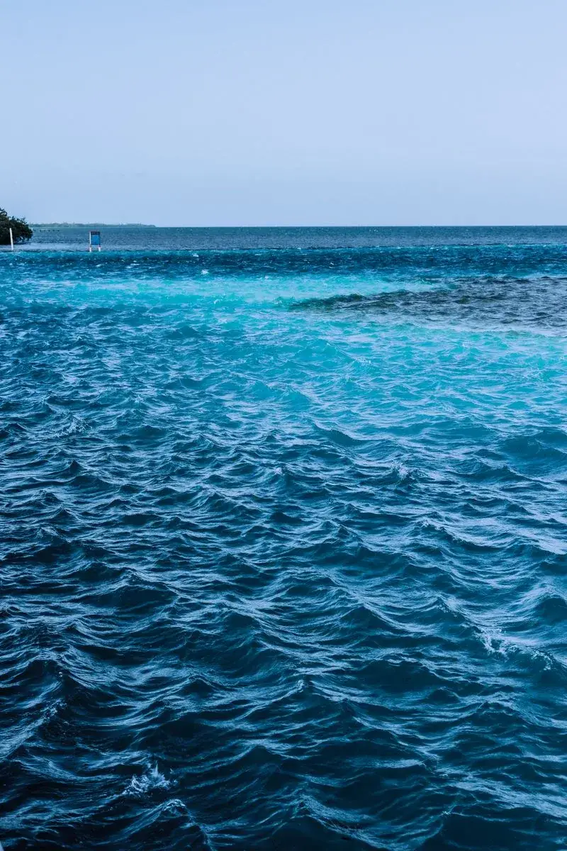
Blue water fading to turquoise — you'll see this gradient the whole flight in. Illustrative stock photo via Pexels.
You'll find Belize south of Mexico's Yucatán Peninsula, facing the Caribbean Sea. Guatemala borders it west and south, Mexico borders it north, and a maritime line with Honduras sits southeast. The country runs about 175 miles north to south and 69 across at its widest.
Scale helps more than shapes. The whole country covers 22,966 square kilometers, slightly smaller than Massachusetts, with roughly 420,000 residents. Six districts divide it: Belize, Cayo, Corozal, Orange Walk, Stann Creek, and Toledo. Belize City holds about a fifth of the people and the commercial buzz, while inland Belmopan holds the government.
- Use the pin when: you're placing it on a map or settling the Caribbean-versus-Americas question
- Skip it when: you're choosing reef days versus jungle days, which need their own sections
- Spec to confirm: 17°15′N 88°45′W, the figure every atlas agrees on
Reef and Cayes: the Blue Hole and 450 Islands
Your breath catches through the mask the first time the wall drops away below you. You'll remember that blue long after the tan fades.
The Belize Barrier Reef runs roughly 180 miles along the coast, second only to Australia's and longest in the northern hemisphere. It holds around 450 mangrove and sand cayes plus three of the Caribbean's four atolls. UNESCO lists seven protected areas covering the system, home to some 500 fish species, 65 stony corals, and manatees, turtles, and reef sharks. Darwin himself called it the most remarkable reef in the West Indies.
The Great Blue Hole sits near the center of Lighthouse Reef, about 100 kilometers from Belize City. It spans 300 meters across and drops 125 meters deep, a drowned Ice Age cave with stalactites still hanging inside. Jacques Cousteau ranked it among earth's top dive sites, and full-day trips pair one Hole dive with two nearby reef dives. Note the fine print: the Hole suits advanced divers, while snorkelers get their best hours on the surrounding shallows.
- Grab the reef if: you dive, snorkel, fish, or photograph coral walls
- Leave it if: open water unnerves you, since the mainland fills a week alone
- Spec to confirm: operator, group size, and what's included before you book the Hole
Mainland: Capitals, Maya Pyramids, and Jaguars
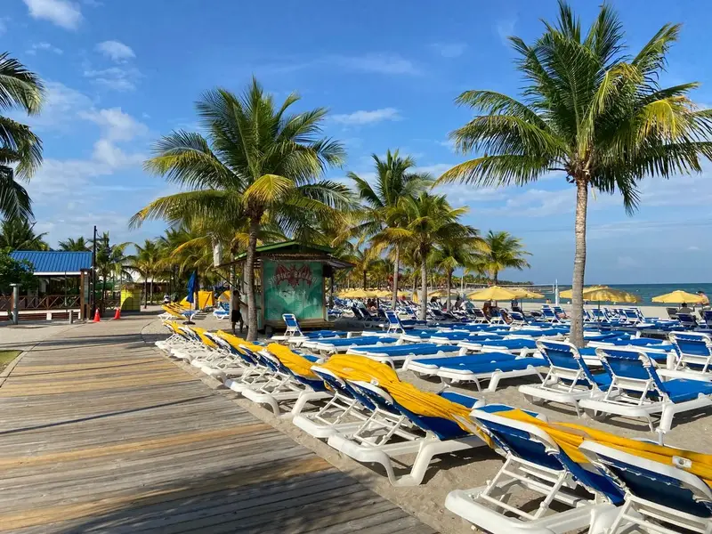
Palm shade and still water — you'll stage mainland days from coasts like this one. Illustrative stock photo via Pexels.
So what waits past the beach? You'll trade fins for boots and find a second country hiding inland.
Belmopan sits about 50 miles inland in the Belize River valley, purpose-built after Hurricane Hattie flattened Belize City in 1961. The Maya past rises at Xunantunich and Caracol, two famous pyramid cities in the west. The Cockscomb Basin guards the world's only jaguar reserve, with tapirs, peccaries, and howler monkeys working the same forest. Southward the land climbs into the Maya Mountains and Mountain Pine Ridge, while rainfall doubles from north to south.
People multiply the interest. English is official, a first for the region, with Creole, Spanish, Maya, and Garifuna widely spoken. Mestizo, Creole, Maya, and Garifuna communities shape the food and festivals, and most Belizeans are multilingual. You'll order, bargain, and banter in English everywhere.
- You'll love it if: ruins, rainforest, and wildlife rank with reefs for you
- Walk away if: your week only fits one lane — pick reef or jungle, not both
- Spec to confirm: park fees and guide rules at Caracol before driving out
Three Belizes, One Trip: How to Split the Week
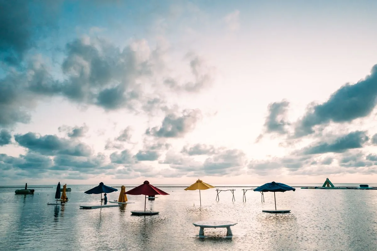
Sunrise loungers in San Pedro — you'll base reef days on Ambergris or nearby cayes. Illustrative stock photo via Pexels.
You'll enjoy Belize most as three short trips stapled together. Give the cayes three days, the jungle three days, and keep one day loose for weather.
Base reef days on Ambergris Caye around San Pedro or jump to Turneffe for atoll diving. You'll snorkel the reserve shallows, dive the Hole once if qualified, and fish the flats between. Then move inland to San Ignacio for Xunantunich and Caracol, and south to Cockscomb for jaguar forest and waterfalls. The loose day absorbs the delayed boat or the site that deserved a second morning.
- Reef-first split: four caye days plus two jungle days for divers
- Jungle-first split: four mainland days plus two snorkel days for hikers
- Spec to confirm: domestic hops and boat schedules before locking hotels
The Hurricane That Moved a Capital
You'll understand Belize faster through one storm. Hurricane Hattie struck in 1961 with a tidal wave that wrecked Belize City, which sits largely on filled mangrove near or below sea level.
The government answered by building Belmopan inland, about 50 miles west, and moving the capital there. Belize City stayed the commercial heart and biggest city, which confuses first-timers to this day. The lesson still applies: hurricane season runs June through November with coastal flooding risk, especially south. You'll buy flexible bookings and watch forecasts for summer and fall trips, and you'll know exactly why the capital sits where it does.
- Remember: Belmopan governs, Belize City trades — don't fly to the wrong one
- Watch: June–November forecasts the way locals do
- Spec to confirm: your hotel's storm policy before hurricane-season travel
Setup Tips to Read Belize Like a Local
You've got the pin and the split, so you'll glide through the small stuff. Start with the names: cayes are pronounced keys, and Belmopan blends Belize with the Mopan river.
Lean on the language edge. You'll navigate, read signs, and sort problems in English, then pick up Creole greetings as you go. Pack for two climates in one bag: reef rash guards and dry bags for the water, closed boots and rain shells for jungle trails. Keep reef etiquette tight — look, hover, and never touch coral or lift marine life for photos.
- Document: passport validity, marine-park receipts, and tour confirmations offline
- Protect: cash in small bills for park fees, boats, and roadside stands
- Spec to confirm: Blue Hole dive minimums if anyone in your group wants the deep one
Where Is Belize FAQ
What is the capital of Belize?
Belmopan, about 50 miles inland from Belize City. You'll fly into Belize City's international airport, then connect onward by road, boat, or hopper flight.
What language do they speak in Belize?
English is the official language, with Creole, Spanish, Maya, and Garifuna widely spoken. You'll get by in English everywhere and hear the rest in markets and villages.
How deep is the Great Blue Hole?
About 125 meters (410 feet) deep and 300 meters across, inside Lighthouse Reef. You'll dive it as an advanced diver and snorkel the rim reefs otherwise.
Is Belize in the Caribbean or Central America?
Geographically Central America, culturally close to the English-speaking Caribbean. You'll see both identities in its history, from British Honduras to CARICOM membership.
When is the best time to visit Belize?
Dry months bring the calmest seas, while June through November brings hurricane risk and lower prices. You'll check forecasts and book flexible stays for summer and fall trips.
How big is Belize?
About 22,966 square kilometers with some 420,000 residents — slightly smaller than Massachusetts. You'll cross it end to end in a day, then spend a week on what you find.
Bottom Line
Belize sits between Mexico and Guatemala on the Caribbean Sea, and you'll meet it best split between reef days and jungle days.
Related Guides
- How to Get to Belize From the US
- Belize Map Districts and Regions Explained
- Belize vs Costa Rica First Trip Choice
- Best Time to Visit Belize by Season
- How to Choose Cayes vs Mainland Belize
- Belize Trip Cost Per Day Breakdown
- How to Plan Belize Reef Diving Trip
- Belize Entry Rules Passport and Visa Guide
- Belize Language Currency Time Zone Basics
- How to Stay Safe in Belize City and Rural Areas
- Belize Airports and Domestic Flights Overview
- Where to Travel in Summer in 2026 (Beaches, Cool Escapes, and Festival Cities)
- Where Is Everest in 2026 (Country, Height, and Which Side to Visit)
- Where to Donate Garden Tools in 2026: 7 Places That Take Them
Sources: CIA — World Factbook Belize; Britannica — Belize; UNESCO — Barrier Reef Reserve; Belize.com — Great Blue Hole; NASA — Lighthouse Reef; Photos: illustrative stock via Pexels.